Robots and photogrammetry: monitoring the deep in Ascension Island MPA
Key Facts
FUNDING SCHEME Darwin Plus Local
VALUE £35,160
WHERE Ascension Island
Summary
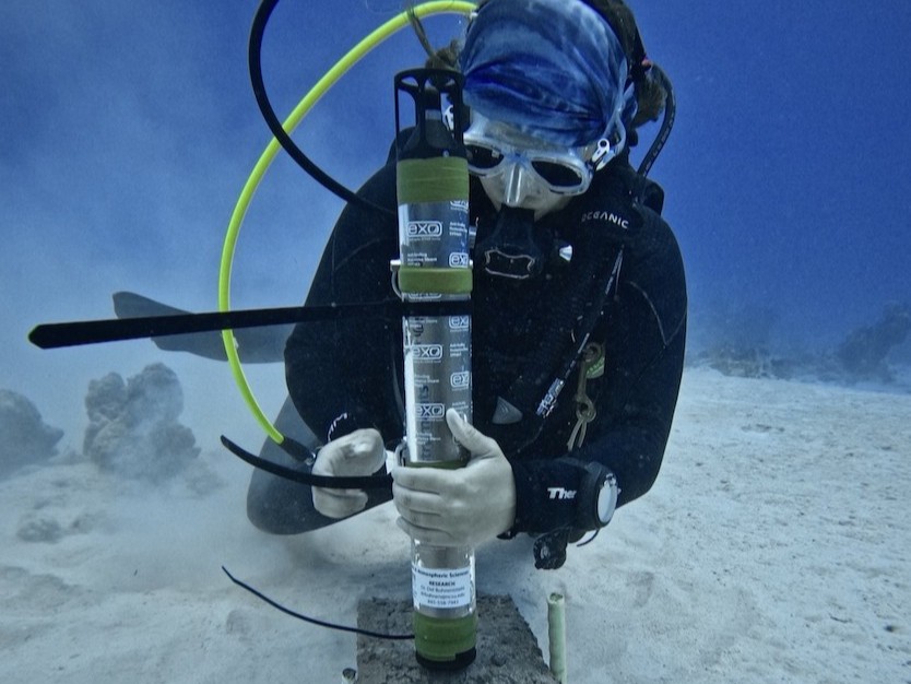
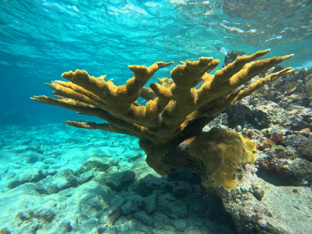
This project aims at using images acquired by a Remotely Operated Vehicle for generating photogrammetry 3D models of mesophotic habitats around Ascension Island Marine Protected Area. Habitat complexity indices capable of being used to compare and monitor these habitats in time will then be calculated. This will allow the assessment of habitat health, changes in sessile species cover and migration of species from shallow areas. A long-term monitoring programme of these habitats will be the main outcome of the project.