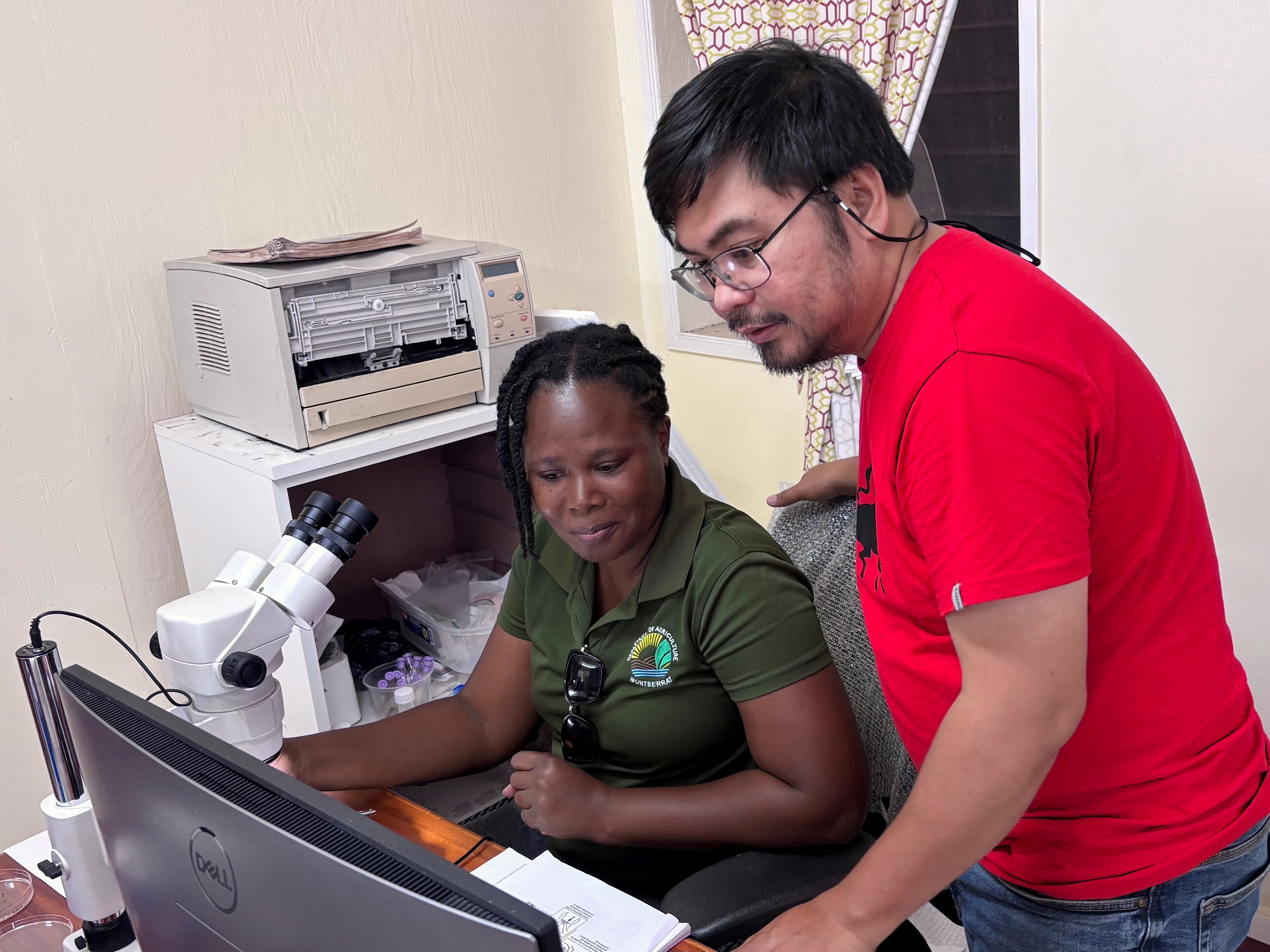
Coastal Resource Atlas 2021 and Temporal Analysis for the BVI


British Virgin Islands
darwin initiative
darwin initiative
darwin initiative
darwin initiative
darwin initiative
darwin initiative
darwin initiative
darwin initiative
darwin initiative
darwin initiative

Ref: DPLUS152

Status: Current

Round:
9
Funding Scheme:
Darwin Plus
Project Partners:
JNCC - Joint Nature Conservation Committee, National Parks Trust of the Virgin Islands, Coastal Management Consulting
Start Date:
01-07-21
End Date:
30-06-23
Funding:
£253,645.00
Regions:
UKOT
Biomes:
Island biodiversity, Marine coastal, Marine
Production:
Fisheries
Threats To Biodiversity:
Climate change, Invasive species
Broad Approches:
Ecosystem approach, Ecosystem conservation, In situ, Species conservation
Specific Tools:
Protected areas, Impact assessment, Monitoring
Countries:
British Virgin Islands
Conventions:
CBD
Project Summary:
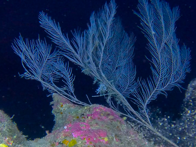
Marine habitat maps provide vital information on ‘what is where’. Consequently, marine habitat maps are necessary for understanding the distribution of impacts, the planning of sustainable human actives at sea and the placement of protected marine area. This project will combine recent high-value surveys of the physical seabed with additional fieldwork to produce new and more extensive maps for the BVI’ marine environment surround. The fieldwork will also examine the change in marine habitats over time and their current condition.


Documents:
Title: DPLUS152 App - edited
Download: Application Form [pdf] 2021-06-21 00:00:00

Title: DPLUS152 HYR1 - Edited
Download: Half Year Report [pdf] 2021-11-25 00:00:00

Title: DPLUS152 AR1 - edited
Download: Annual Report [pdf] 2023-01-18 00:00:00

Title: DPLUS152 HYR2 - edited
Download: Half Year Report [pdf] 2023-03-30 00:00:00

Title: DPLUS152 AR2 - edited
Download: Annual Report [pdf] 2023-08-25 00:00:00